Maps of Freckleton
Freckleton is located in the Fylde, Lancashire, England, United Kingdom. It is a large village a few miles west of Preston on the north shore of the Ribble estuary. Our postcode area is PR4 (Preston). The local telephone code is mostly 01772 although a small number of people in the village have 01253 codes. We have a Parish Council (Freckleton), a Borough Council (Fylde), a County Council (Lancashire) and a regional government (North West).
|
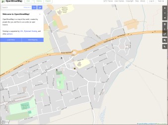
View Freckleton, Preston, UK in a larger map |
Google Maps with local annotations (a work in progress) | |
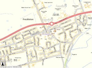 |
Lancashire County Council GIS map |
|
 |
||
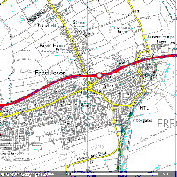 |
See an up to date map at Ordnance Survey. |
|
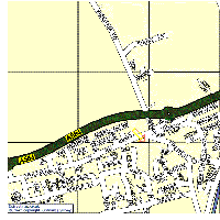 |
Look for street names and post codes on Streetmap |
|